By examining the distinct geographical and structural challenges facing Khon Kaen and Bangkok, an urban planning expert argues that effective flood mitigation depends on integrating blue-green infrastructure and forward-thinking urban design, rather than relying merely on faster drainage.
When heavy downpours flood streets and communities, the question many people now ask is no longer simply when the water will recede, but why highly developed cities with modern infrastructure and drainage systems continue to flood time and again. The reality is that urban flooding is not determined by rainfall volume alone. It is closely tied to a city’s physical geography, its land-use practices, the loss of natural landscapes, and its structural capacity to absorb sudden surges of stormwater.

Assistant Professor Pattamaporn Wongwiriya, Ph.D.
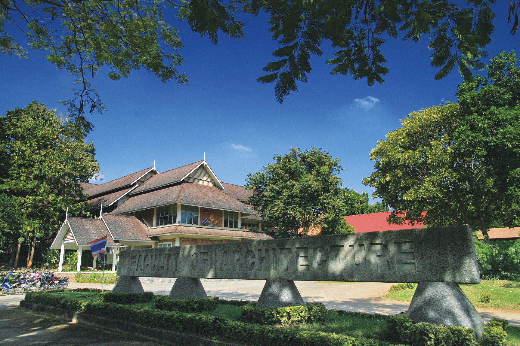
Assistant Professor Pattamaporn Wongwiriya, PhD, a lecturer in the Urban and Regional Planning Programme at the Faculty of Architecture, Khon Kaen University, offers an expert urban planner’s perspective on this persistent issue. She emphasises that sustainable flood management requires looking well beyond speeding water out of a given area. Instead, it demands a fundamental rethink of how cities are planned and designed to accommodate water at the source.
From a spatial planning viewpoint, metropolitan areas frequently suffer from pluvial flooding, which occurs when intense rainfall overwhelms existing drainage networks, a problem compounded by altered urban landscapes. Historically, exposed soil, agricultural land, and natural habitats absorbed and retained rainwater. As cities expand, however, these permeable natural buffers give way to impermeable surfaces such as concrete, asphalt, and dense development. As a result, surface runoff increases dramatically in both volume and speed. Assistant Professor Wongwiriya noted that the answer cannot lie solely in enhancing underground drainage; cities must be purposefully designed to include spaces that absorb, store, and slow runoff.

One prominent strategy is the “Sponge City” concept, which aims to strengthen an urban area’s natural capacity to absorb and manage stormwater. This involves restoring green spaces such as public parks, alongside careful management of blue infrastructure, including canals and natural lakes, to moderate water flow. Certain public spaces can also be engineered to hold water temporarily during severe storms, functioning as urban retention basins, or “monkey cheeks”. This marks a crucial paradigm shift: from expelling water as quickly as possible to managing it sustainably within the environment.

Despite their established infrastructure, major cities continue to face recurring floods because of shifting land-use patterns. Unregulated urban expansion often leads to the infilling of wetlands and natural floodplains for residential or commercial development. A comparison of the capital with regional hubs shows how different their geographical challenges are. Bangkok, situated on a low-lying delta, contends with a complex mix of local rainfall, northern runoff, and high tides, which necessitates large-scale structural defences such as flood walls and massive drainage tunnels.

Conversely, Khon Kaen Province, a major economic and educational hub in the Northeast, faces entirely different circumstances. The main problems stem from highland runoff, internal urban drainage, and the disruption of natural water pathways caused by urban sprawl. Assistant Professor Wongwiriya explained that when land is filled for road or building construction without regard for natural hydrological routing, the new developments become unintended barriers that act like small dams. This forces water into lower-lying areas and creates persistent flood zones. Resolving Khon Kaen’s water management problems therefore hinges on aligning spatial planning with precise hydrological data, so that future developments do not inadvertently increase local flood risk.
Looking ahead, urban planning must anticipate the impacts of climate change and continued urbanisation over the next 10 to 20 years. For Khon Kaen, Assistant Professor Wongwiriya advocates a shift towards climate-resilient urban planning that prioritises protecting and restoring the remaining natural catchments through integrated blue-green infrastructure. Municipal planning regulations must also enforce stormwater attenuation in new private developments, requiring the installation of underground retention tanks or temporary stormwater storage zones. Alongside physical infrastructure, integrating smart city technologies – such as flood risk mapping, water-level sensors, and community disaster surveillance networks – remains vital for comprehensive early warning and preparedness.

Ultimately, designing water-resilient cities rests on cross-sector collaboration and community engagement, in line with Khon Kaen University’s core mission of driving societal sustainability. Meaningful public participation must begin at the earliest planning stages so that land-use decisions accurately reflect local contexts. The key lesson from an urban planning perspective is that a truly resilient city is not one designed merely to drain water at speed, but one intelligently built to coexist safely, harmoniously, and sustainably with natural hydrological cycles.
 |
 |


News compiled and written by: Kannaphas Sirikiat
Interviewee: Assistant Professor Pattamaporn Wongwiriya, Ph.D.
Programme: Urban and Regional Planning, Faculty of Architecture, Khon Kaen University